Saildrone, Inc. Saildrone SurveyorvsSkydio Skydio X10D
Side-by-side comparison of Saildrone, Inc. Saildrone Surveyor and Skydio Skydio X10D: specs, price, use cases and SDKs.
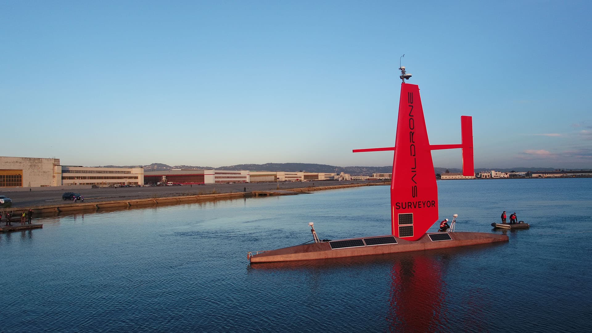
Saildrone Surveyor
Autonomous uncrewed surface vehicle for ocean mapping and maritime security.

Skydio X10D
Intelligent drone with advanced AI and superior sensors for timely, powerful information.
Specifications
| Spec | Saildrone Surveyor | Skydio X10D |
|---|---|---|
| Price (USD) | $7,500,000 | $28,382 |
| Category | drone | drone |
| Payload | null kg | 0.385 kg |
| Runtime | 8640 h | 0.67 h |
| Speed | 3.08667 m/s | 20 m/s |
| Weight | 13607.8 kg | 2.11 kg |
| Reach | Global, up to 12 months | 12 km |
| Degrees of Freedom | null | null |
| Battery | Wind, solar, and diesel generator | Rechargeable Lithium Ion Polymer, 8419 mAh, 18.55 V, 156.17 Wh |
- Deep-ocean mapping
- Maritime intelligence, surveillance, and reconnaissance (ISR)
- Anti-submarine warfare (ASW)
- Cable route surveys
- Environmental characterization
- Defense and security
- Public safety and search and rescue
- Critical infrastructure inspection
- Surveying and mapping
- Tactical operations
When to pick which
Select the Saildrone Surveyor for large-scale maritime operations requiring persistent presence in remote, deep-ocean environments. It is the primary choice for government agencies or hydrographic firms conducting deep-ocean mapping or anti-submarine warfare across intercontinental distances. With a 12-month runtime and a hybrid power system utilizing wind and solar, it excels in missions where human crews cannot be sustained. Choose this platform for cable route surveys or environmental characterization where the deployment scale is global and the operational constraint is the requirement for months of autonomous data collection without refueling or recovery.
Choose the Skydio X10D for tactical, localized missions requiring rapid deployment and high-speed aerial intelligence. It is ideal for public safety agencies or utility inspectors performing search and rescue or critical infrastructure monitoring. At a weight of 2.11kg and a top speed of 20m/s, it provides immediate situational awareness that a large surface vessel cannot match. Opt for this drone when the task involves close-range surveying or tactical operations within a 12km radius. Its advanced AI and SDK support make it suitable for integrated defense applications where portability and obstacle avoidance are critical constraints.
Ready to evaluate?
Request a vendor quote or compare more options.